How Seagrass Mapping Helps Protect Marine Habitats
Seagrass mapping is an important part of modern coastal planning and marine environmental protection, which explains why seagrass surveys are required for coastal projects. Many waterfront projects are built in shallow water where seagrass naturally grows. This includes docks, marinas, shoreline stabilization, dredging, and nearshore utility work. If seagrass is present and not identified early, construction can damage habitat, create permit violations, and cause expensive project delays.
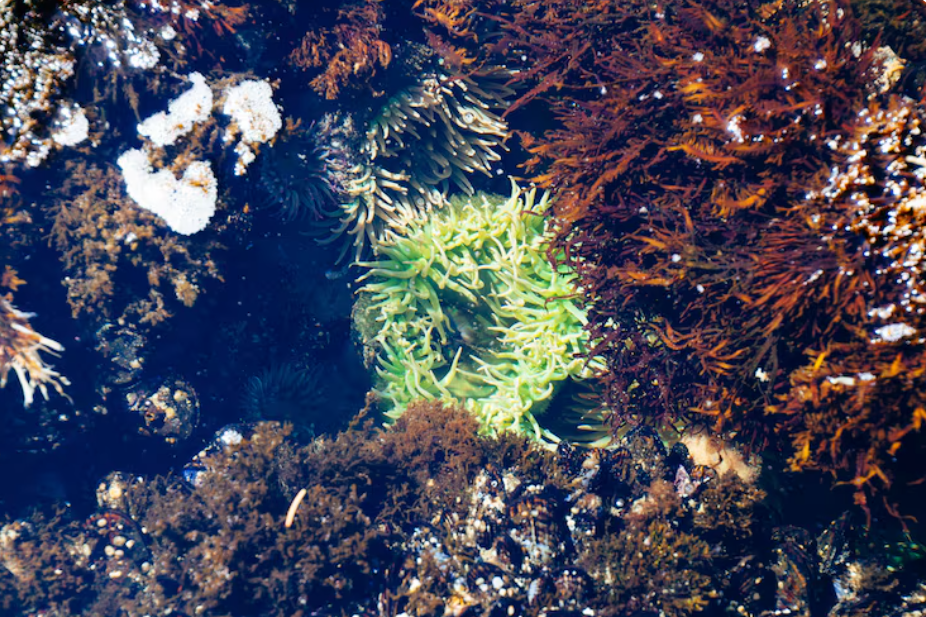
Seagrass is more than underwater vegetation. It is a living habitat that supports marine species, improves water quality, and stabilizes sediments. Because it is sensitive to disturbance, many coastal regulators require seagrass mapping before a project can move forward. Mapping provides clear evidence of where seagrass exists and how the project can avoid unnecessary impacts.
Why Seagrass Habitats Need Protection
Seagrass beds play a major role in coastal ecosystems. They provide shelter and feeding areas for fish, crabs, shrimp, and other marine organisms. Many species depend on seagrass during early life stages, which makes these areas important for healthy fisheries.
Seagrass also improves water clarity by trapping fine particles in the water column. When water becomes clearer, sunlight reaches the seabed more easily, which supports continued seagrass growth. This creates a stable cycle that benefits the entire coastal environment.
Another major benefit is sediment stabilization. Seagrass roots hold the bottom together and reduce erosion. If seagrass is removed, the seabed can become loose and unstable. This may increase turbidity and lead to habitat loss in nearby areas.
What Seagrass Mapping Includes
Seagrass mapping is a technical process that documents habitat conditions using structured survey methods. It is not the same as a quick boat ride with visual observation. Water clarity changes often, and seagrass can be patchy, which makes it easy to miss without field verification.
A seagrass mapping effort usually produces data such as:
- Seagrass bed boundaries and patch locations
- Density classification such as sparse, moderate, or dense
- Percent cover estimates within survey zones
- Water depth trends and bottom type conditions
- Photographic evidence and GPS referenced field notes
These outputs allow engineers and regulators to evaluate the project with accurate habitat information.
How Mapping Supports Better Project Design
One of the biggest benefits of seagrass mapping is that it helps reduce impacts through avoidance. Following a seagrass survey process explained in simple steps ensures engineers know exactly where seagrass beds are located and can adjust the project footprint before construction begins. This may include shifting dock alignment, changing the pile layout, or relocating access routes.
For dredging projects, mapping helps define dredge limits and reduce unnecessary excavation. For shoreline stabilization work, mapping can support placement decisions that avoid habitat areas and reduce turbidity risk.
Avoidance is usually the best approach because it lowers mitigation requirements and supports faster permit review. Small design adjustments made early can prevent major problems later.
Reducing Construction Risk and Compliance Issues
Seagrass mapping also helps protect habitats during construction. Many environmental violations happen because contractors do not have clear boundaries for sensitive resources. A detailed map provides the construction team with a clear understanding of where work can occur safely.
Mapping supports practical construction controls such as marked no work zones, defined equipment routes, and staging locations that avoid seagrass beds. It also helps environmental monitors confirm compliance during inspections. When the work area is clearly defined, the project is less likely to face stop work orders, enforcement actions, or restoration costs.
Supporting Permitting and Environmental Review
Permitting agencies require seagrass mapping because it provides baseline documentation. Regulators need to confirm that seagrass has been identified and that the project is designed to minimize impacts. Mapping results are often included in permit applications, environmental assessments, and impact calculations.
If impacts cannot be avoided, mapping helps quantify how much seagrass may be affected. This information is used to evaluate mitigation requirements, such as habitat restoration or compensation measures. Without mapping, agencies may request additional surveys, which can delay approvals and increase costs.
Long Term Benefits for Habitat Monitoring
Seagrass mapping is also valuable after construction. It creates a baseline record that can be used for monitoring. Post construction surveys may compare seagrass coverage and density to confirm that impacts stayed within approved limits. This supports long term habitat management and improves planning for future coastal projects.
Conclusion
Seagrass mapping helps protect marine habitats by providing accurate, field-verified information about seagrass location, coverage, and sensitivity, highlighting why marine resource mapping is important for coastal planning. It supports smarter design, stronger permitting documentation, and safer construction practices. By identifying seagrass early, project teams can avoid unnecessary impacts, reduce compliance risk, and support healthier coastal ecosystems. For any shallow water project, seagrass mapping is one of the most important steps toward responsible development and long-term environmental protection.